Archer Heritage
  • Home
  • Featured Work
  • Services
  • About Us
  • Contact
  • info@archerheritage.ie

Dragoonhill, Co. Wicklow

<< Go back

In 2012, AHP tested a recorded archaeological monument (WI009-036) in Dragoonhill townland as part of an overall assessment of a proposed realignment to the N81 near Hollywood, Co. Wicklow. 
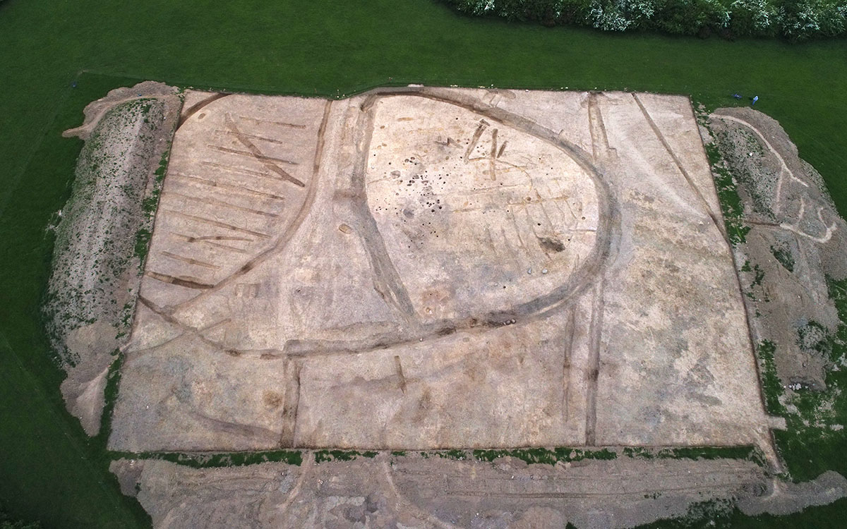
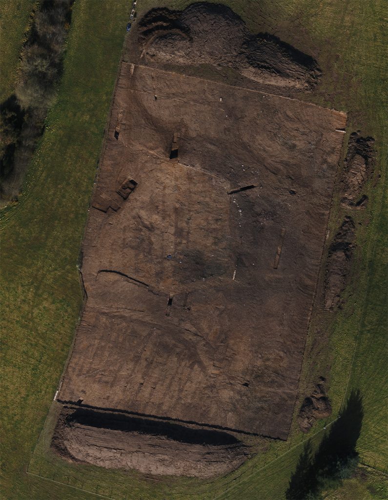
This area had close associations with the early medieval monastery at Glendalough to which it was connected by St. Kevin’s Road, a pilgrimage route through the Wicklow Mountains via the King’s River and Glendassan Valleys. When we returned to excavated the site in 2017, we found an extensive early medieval ringfort and associated field system, with evidence for a late Neolithic/ early Bronze Age (Beaker Period) occupation (worked flint, a stone axe fragment & pottery). Internal features included an 11m-diameter curvilinear slot trench, remains of post-built structures, hearths and a cereal-drying kiln. Artefacts included iron knives, fragments of lignite bracelets and metalworking waste. Late medieval pottery was also found. From a much later period, an Ordnance Survey triangulation point recorded on the 1908 25-inch edition map was marked by a perforated red clay tile. Modern agricultural drains and field boundaries were also identified and a considerable quantity of modern pottery and agricultural metal was recovered.

Aerial view of the site following topsoil removal.

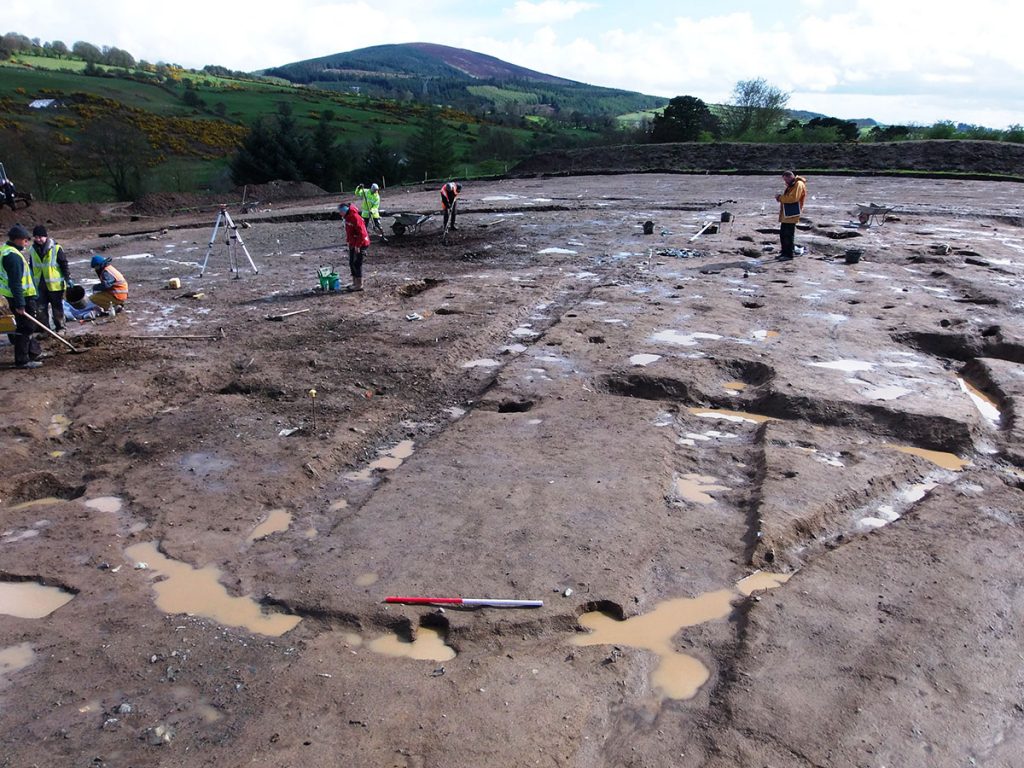
Works progressing on a structure within the enclosure.

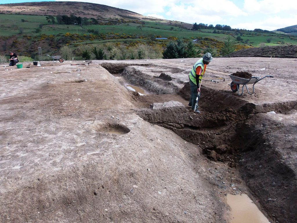
The last of the ditch being excavated.

Aerial view of the site on completion of excavation.

Useful links

“Excavations”

“Pilgrimage Routes”

What we did:

Desk-based research
Desk-based research
Planning authorities may request information on the archaeological and historical background to a site before a planning decision is made.

Often, developers may wish to know the archaeological implications of a site prior to purchase or submission of a planning application.

In each instance, a desk-based assessment is typically the first stage in an archaeological assessment. Desk-based assessments will usually compile and analyse data from: local & national archaeological, artefactual, architectural databases; historical mapping, aerial and satelitte imagery; bibliographical and local historical information; published, peer-reviewed archaeological research; unpublished excavation reports; geophysical and geotechnical reports; any other relevant datasets; a comprehensive site inspection to current site conditions and unidentified constraints.

Based on the desk-based study, further options of assessment are available, for example, geophysical survey, testing, monitoring and excavation.

Drone photogrammetry
Accurate orthomosaics and 3D topographical models are created from image sets collected by a drone. We don’t just want a pretty overhead shot. Low altitude, mobile drone platforms are an excellent way to accurately map archaeological sites at different phases of investigation.
Test trenching
Test trenching

Planning authorities often seek additional information beyond a desk-based study on the potential for archaeological despoits at a location. In such cases, trenching plans must be submitted to, and licenced by, the National Monuments Service.

Test trenching is a quick and effective means of investigating a sample area of a site (usually 10%). Trench layout is generally informed by the extent of a proposed development, or the results of a geophysical survey. Trenches up to 2 m wide are mechanically excavated in spits to the top of the first archaeological layer encountered (or to subsoil).

Trenching is conducted by experienced, licenced archaeologists who make detailed records on the extent, depth and nature of any archeological features they encounter.

Based on the outcome of test trenching, archaeological excavation may be necessary.

Monitoring
Monitoring

Archaeological monitoring may be required as a stand alone condition or may be recommended following an archaeological assessment,
or as additional mitigation following test trenching or excavation.

It involves observing ground works during the construction stage (topsoil stripping, foundation/ trench excavation).
It may be also necessary during timber felling operations.

Monitoring is carried out by a suitably qualified archaeologist, but does not necessarily require a licence.
Typically an archaeologist will observe groundworks until the risk of exposing archaeological material passes.

Excavation
Excavation

Excavation is usually required where a proposed development encounters archaeological remains that cannot be preserved in-situ.

In such cases, the National Monumnets Service will issue a licence to excavate, and preserve by record, the archaeological features.

Excavation is the systematic removal of archaeological material in a structured and fully-documentet manner.

Site records and reports are ultimately archived with the Archive Unit of the National Monuments Service. Archaeological objects are deposited with the National Museum of Ireland.

The stratigraphic, artefactual and palaeo-environmental evidence is compiled, analysed and interpreted and outlined in a detailed, illustrated final report.

Post-excavation
Post-excavation
We offer a range of post-excavation and analytical services to interpret archaeological sites including:

  • Flotation & processing of bulk environmental samples.
  • Processing of artefacts.
  • Osteo-archaeological reports.
  • Close-up photography

Additional services, for example radiocarbon dating or laboratory-based analysis, can be quickly procured from our extensive network of specialist providers.

Carrigaline, Co. Cork
Collon, Co. Louth
Collon, Co. Louth
  • Home
  • Featured Work
  • Services
  • About Us
  • Contact
  • info@archerheritage.ie
Website By, Web Design Dublin