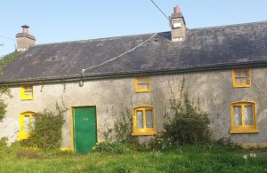
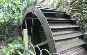
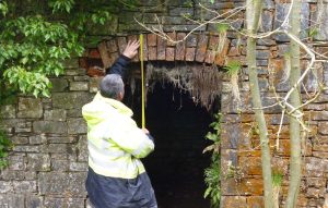
Photogrammetry allows us to extract 3D information from photographs. We use a drone to fly a pre-programmed path taking hi-res photos at every degree of a circle to completely record a building, bridge or feature.
Post-processing involves converting these JPEGs into 2D or 3D digital models to create a model which can be used in AutoCad as it is tied in to ITM points. Photogrammetry is often used by surveyors, architects, engineers, and contractors to create topographic maps, meshes, point clouds, or drawings based on the real-world.


